

Enterprise drone solutions, built for your industry
From construction sites to power lines, mines to rooftops — we deploy aerial data capture and reporting programs tailored to how your industry actually operates.
One drone program, adapted to every site
Every industry captures and uses aerial data differently — a mining stockpile survey isn't the same as a rooftop damage assessment. We build the deployment, data capture and reporting workflow around how your industry and your sites actually work, whether you need a one-time procurement or an ongoing managed service.
Built for the sectors that need it most
Aerial data programs designed around each industry's specific sites, risks and reporting needs.
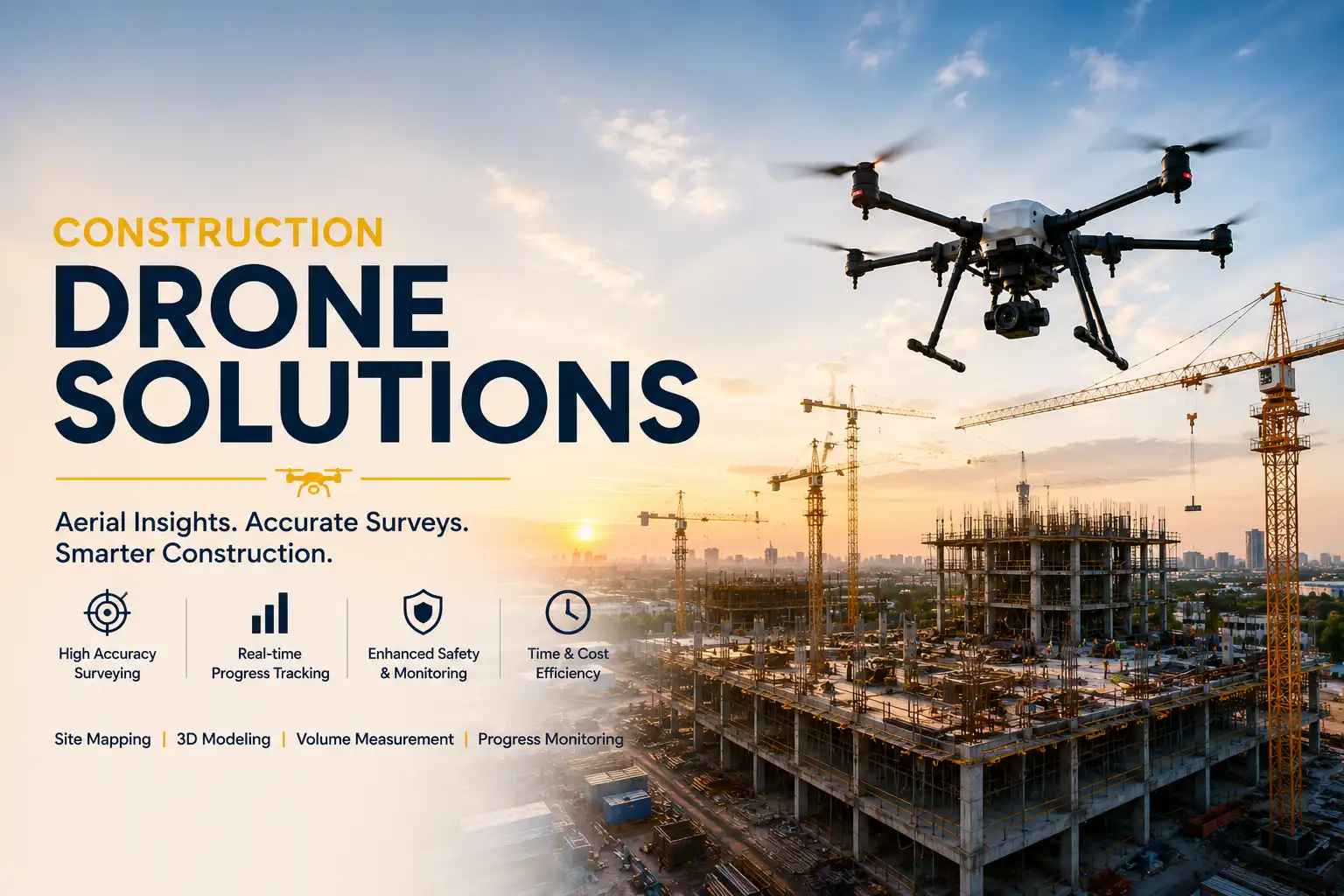
Construction
Site progress tracking, volumetric measurement and safety monitoring from above.
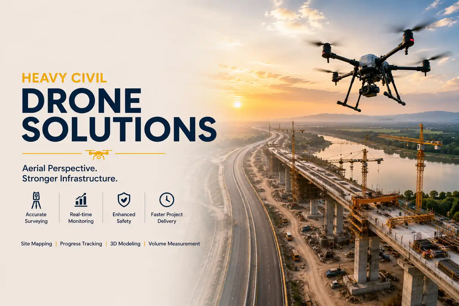
Heavy Civil
Progress and compliance monitoring across roads, bridges and large infrastructure builds.
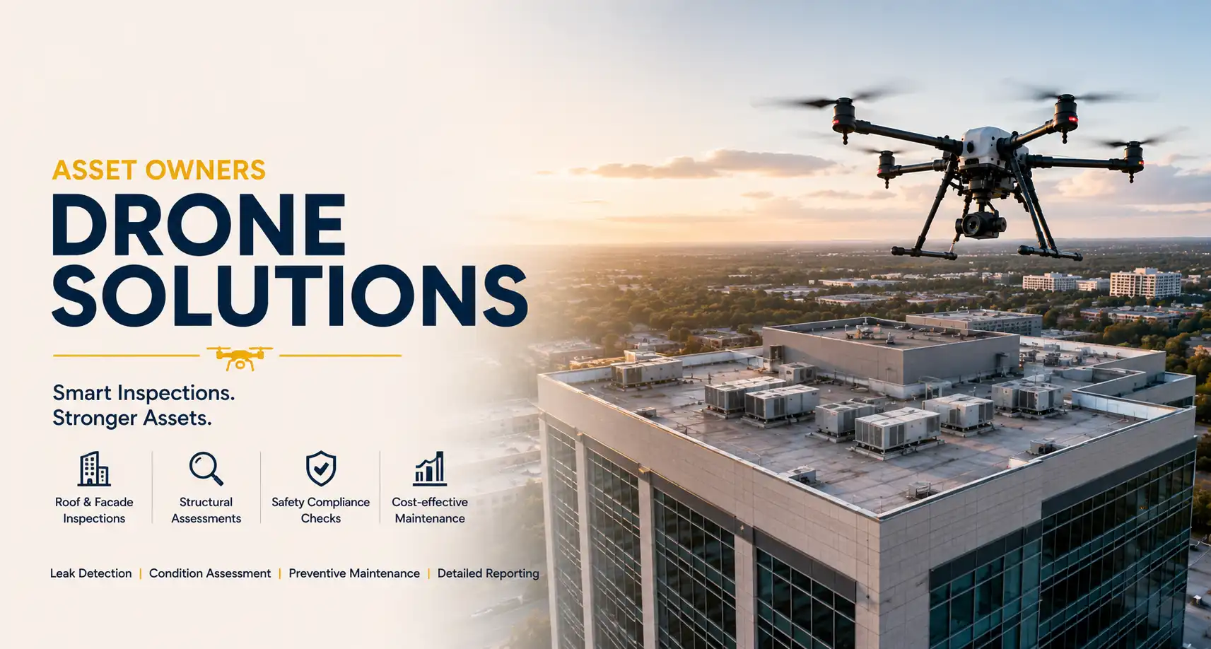
Owners
Recurring aerial inspection and asset condition reporting for property and facility owners.
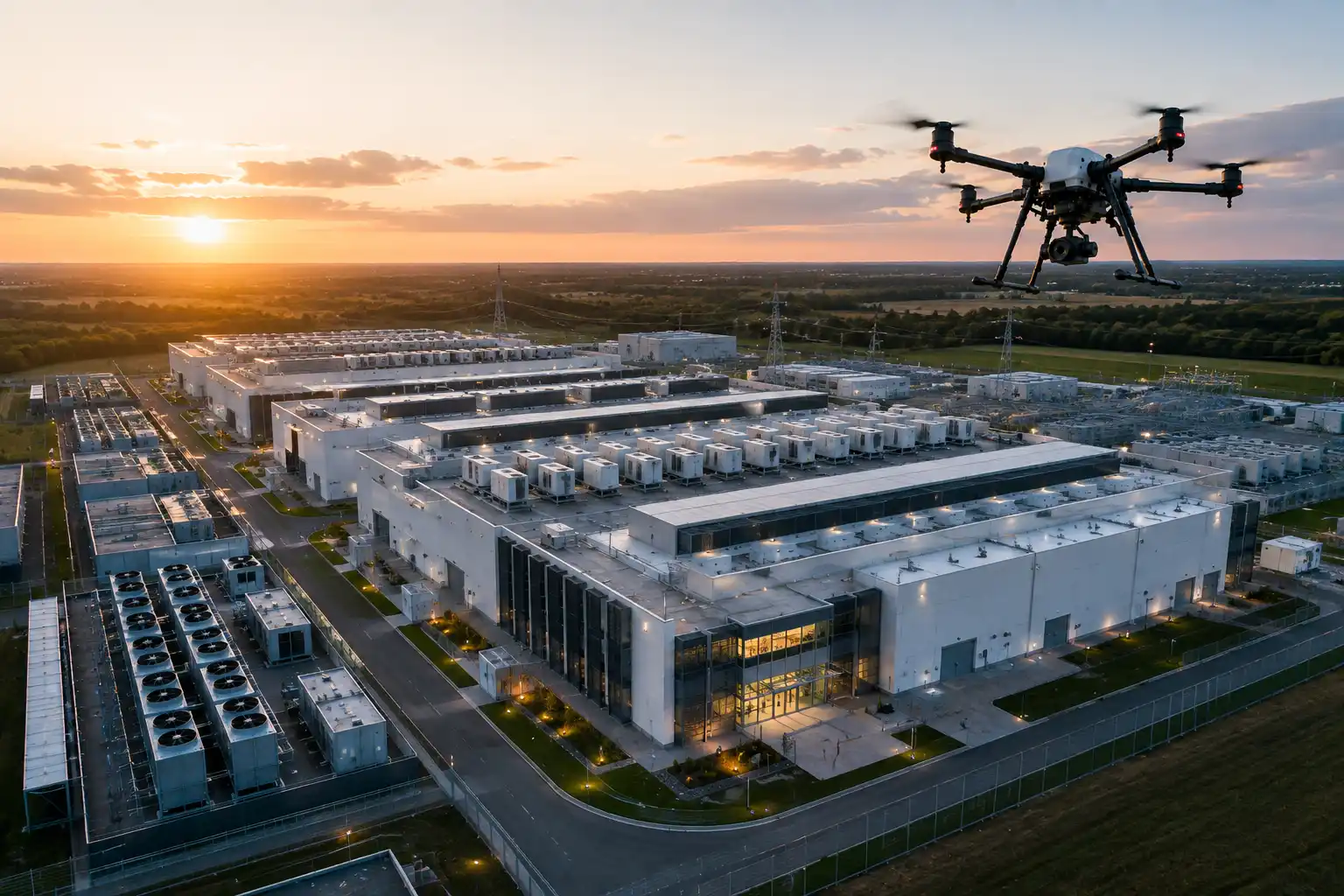
Data Centers
Perimeter security sweeps, thermal checks and site monitoring for critical facilities.

Renewable Energy
Solar panel and wind turbine inspection to catch faults before they cost output.
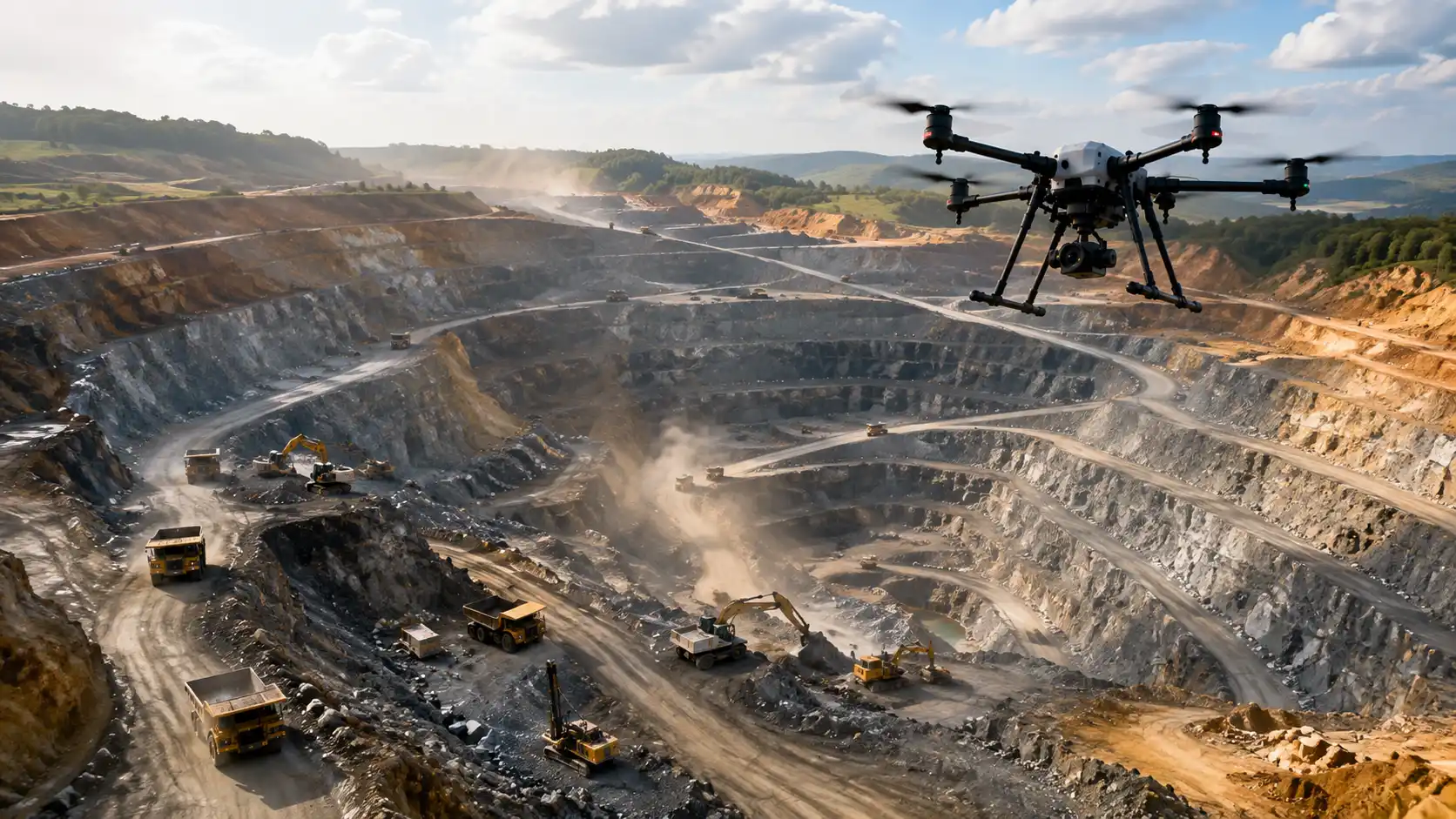
Mining
Stockpile volumetrics, site mapping and safety compliance surveys.
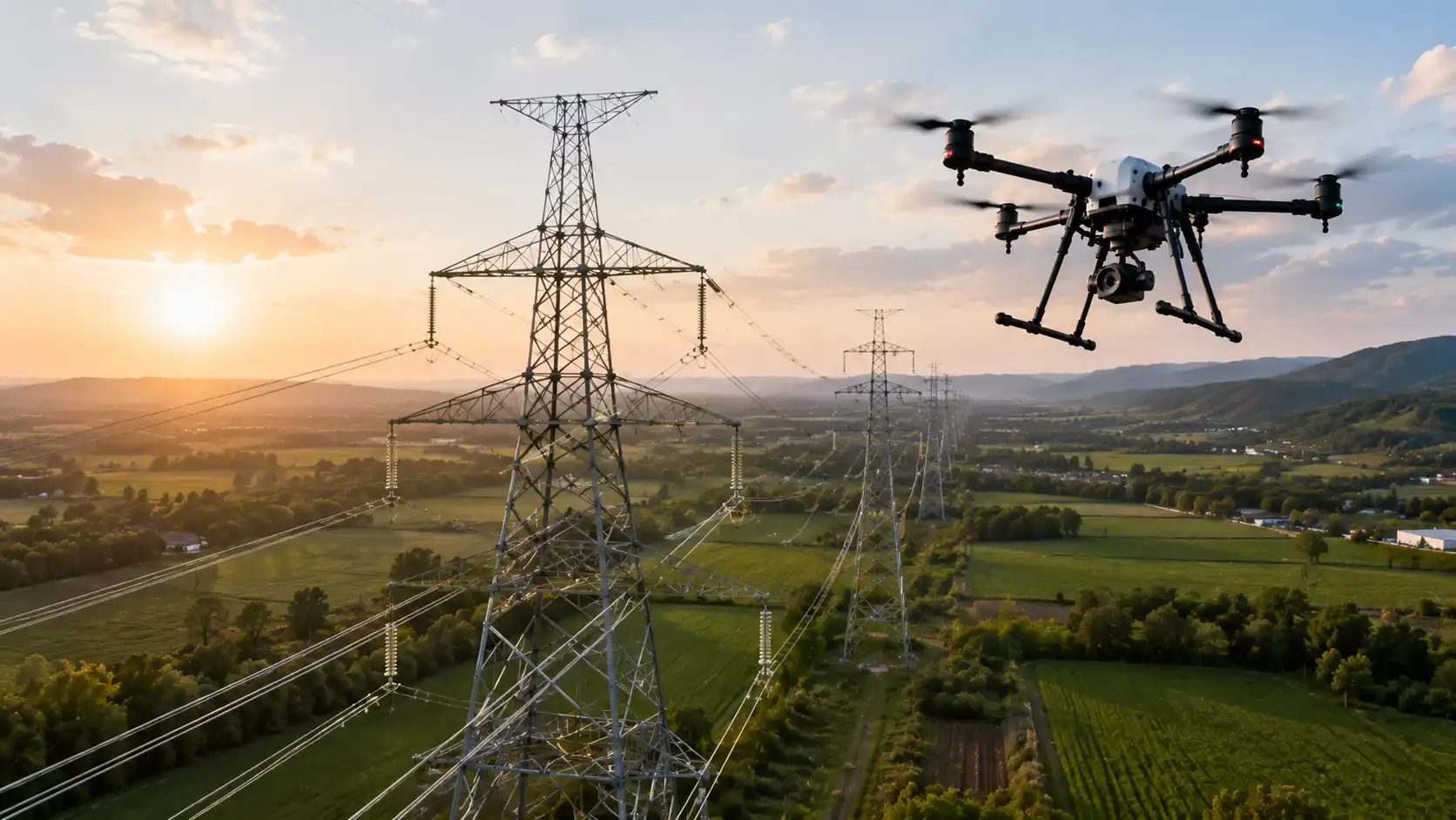
Utilities
Power line and infrastructure inspection without the cost and risk of manual crews.

Roofing
Rooftop condition assessment and damage documentation for claims and maintenance.
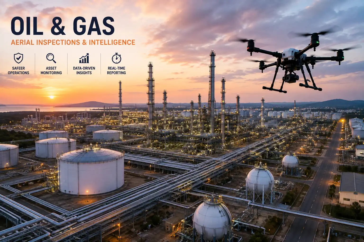
Oil and Gas
Pipeline and refinery inspection support across hard-to-access sites.
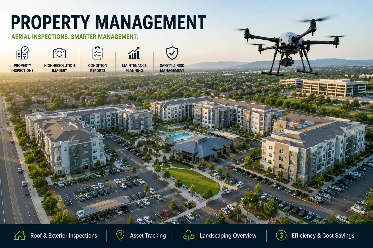
Property Management
Routine aerial inspection across large residential and commercial portfolios.
From first call to ongoing reporting
The same clear process, whichever industry or engagement model fits you best.
A real deliverable, not just raw footage
Every flight is turned into a structured site report — flagged findings, site metadata and a clear status, so your team can act on it the same day instead of digging through hours of drone footage.
Common questions from enterprise teams
What most procurement and operations teams ask before engaging us.
Do you offer both one-time procurement and ongoing managed services?
Yes — you can procure a one-time survey/deployment, or set up an ongoing managed service with recurring flights and reporting, depending on what your sites need.
Can the same program cover multiple sites or industries?
Yes, deployments can be scaled and standardised across multiple sites, even across different industry verticals within the same organisation.
What kind of reporting do we receive after a flight?
Reports are tailored to your industry — progress imagery, volumetric data, thermal scans or compliance documentation, delivered in a format your team can act on.
Do you handle the required flight permissions and compliance?
Yes, flight planning and applicable regulatory compliance are handled as part of the deployment process for every site.
Bring drone data to your industry
Tell us about your sites and reporting needs — we'll recommend the right deployment model.